

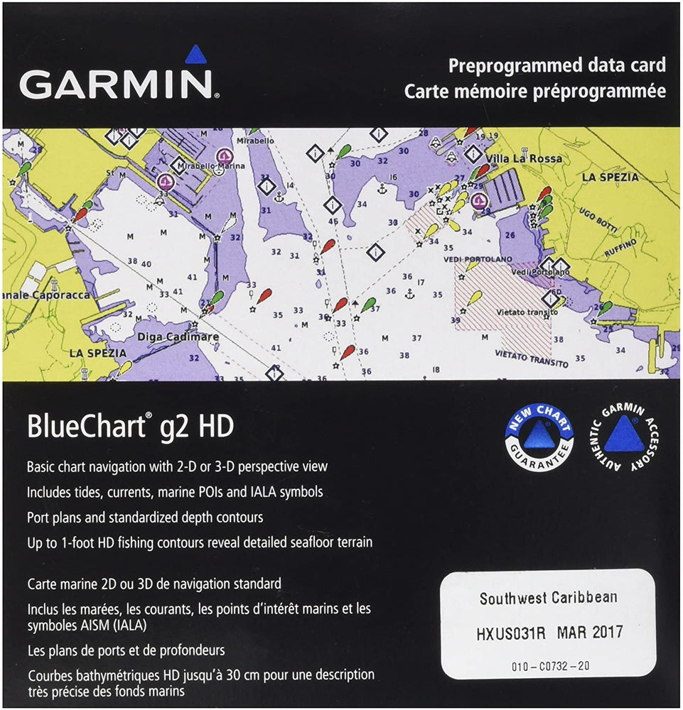
BlueChart g2 Southwest Caribbean - microSD/SD card
by Garmin
30.420 KD
This product ships from the United States
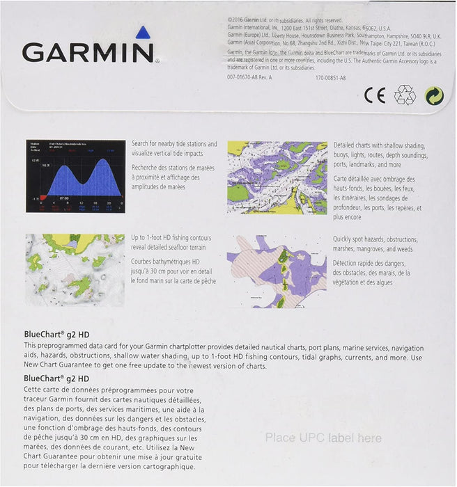
- Realistic navigation features showing everything from shaded depth contours and coastlines to spot soundings, navaids, port plans, wrecks, obstructions, intertidal zones, restricted areas, IALA symbols and more
- Smooth display presentation including seamless transitioning between zoom levels and more continuity across chart boundaries
- Safety shading allows user to enable contour shading for all depth contours shallower than user-defined safe depth
- Fishing charts to help scope out bottom contours and depth soundings with less visual clutter on the display
- Choice of standard 2-D direct overhead or 3-D "over the bow" map perspective to make chart reading and orientation easier. Also compatible with Garmin's HomePort trip-planning software.