
Marine GPS Chartplotters
-
 83.720 KD
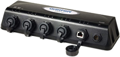
Garmin GMS 10 Network Port Expander (Network Device)
Garmin100-Megabit Uses the Garmin marine network Connects multiple chart plotters Brand: Garmin
83.720 KD -
 30.420 KD
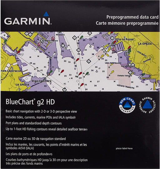
BlueChart g2 Southwest Caribbean - microSD/SD card
GarminRealistic navigation features showing everything from shaded depth contours and coastlines to spot soundings, navaids, port plans, wrecks, obstruc...
View full details30.420 KD -
 Sold out
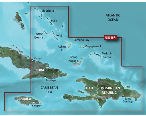
Garmin BlueChart g2 Southeast Caribbean Saltwater Map microSD Card
GarminRealistic navigation features showing everything from shaded depth contours and coastlines to spot soundings, navaids, port plans, wrecks, obstruc...
View full detailsSold out -
 Sold out
Garmin BlueChart g2 Vision Southern Bahamas Saltwater Map microSD Card
GarminRealistic navigation features showing everything from shaded depth contours and coastlines to spot soundings, navaids, port plans, wrecks, obstruc...
View full detailsSold out -
 Sold out
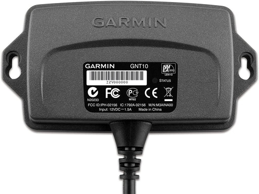
Garmin GNT NMEA Transceiver
GarminGPS position, velocity and heading Navigation data through pairing with MFD Transmit select NMEA 2000 data over ANT wireless Package Weight: 1.35 ...
View full detailsSold out -
 Sold out
Garmin TOPO! 2009 Northeast U.S. Map microSD Card
GarminProvides detailed digital topographic maps, comparable to 1:24,000 scale USGS maps, for Pennsylvania, New Jersey, New York, Connecticut, Rhode Isl...
View full detailsSold out


